swisstopo onlineshop
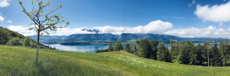
Hiking Maps
The best map material for your most beautiful hikes in Switzerland. The official hiking maps of the Swiss Hiking Federation depict all marked hiking trails.
mySwissMap: your tailor-made map!

The familiar national maps or an aerial map made to measure - with mySwissMap you can design your own personal paper map with just a few clicks. Create your own piece of Switzerland!
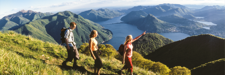
Map series summits

The map series with 15 well-known peaks from different regions of Switzerland - not just for summiteers.
Discover more maps

National Maps
The world-renowned topographical maps are the basis for many activities and requirements. swisstopo maps show the remotest corners of Switzerland to various scales.

Geological Maps
Geological maps provide information on the geological composition of the superficial strata of the terrestrial crust at scales of between 1:25,000 and 1:500,000.

Mapsearch

Find the right map sheet with the help of the interactive online map.